도시문화학 수업 중 '지도'에 대한 내용을 배우면서, 다양한 지도 사례를 접하게 되었다.
그 중에 흥미롭고 인상적인 사례 몇가지를 기록해두고자 한다.
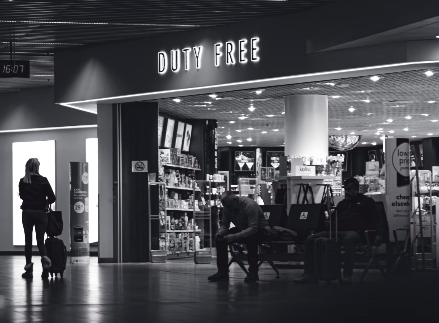
아티클 제목: '비행기를 타려면 쇼핑을 해야만 한다'
첫번째 사례는 잘 알려진 도시문화 매거진인 's u b u r b a n'에 실린 아티클이다. Philipe Rekacewicz는 '권력자'들에 의해 촘촘하게 설계된 공항(주로 유럽)의 자본주의에 대해 관찰한 보고서이다. 저자는 직접 공항을 다니면서 관찰한 내용을 지도와 텍스트로 남겼다. 공항은비행기를 타는 게이트로 들어갈수록 승객들이 이용할 수 있는 공용 공간은 점점 줄어들고 쇼핑 공간이 늘어난다. 승객들이 생각하는 것보다 더 지나치게 자본주의를 기반으로 설계되었다는 것을 설명한다.
(영어 ver.)
You Must Buy before You Can Fly - This is not an atlas
The following maps are the result of a long-term observation process that I made in many airports mainly in Europe. At the same time they represent a symbol. The Observation Process The maps show how the general public, and specifically the passengers, are
notanatlas.org
(독일어 ver.)
Anzeige von Bevor Sie fliegen können, müssen Sie kaufen
zeitschrift-suburban.de
돌아보면 나도 처음엔 당연하게 생각했다. 아니 오히려 처음에는 공항 면세점에 가는 것에 설레었고 그 곳에서의 쇼핑을 즐겼다. 하지만 공항을 찾는 횟수가 늘어날수록 점점 면세점 쇼핑에 대한 흥미를 잃었고, 그것은 결국 찰나의 환상 같은 마케팅 수법에 지나지 않는 것을 알게 되었다. 내가 기존에 하던 생각과 상당히 유사한, 아니 오히려 학술적으로 더 깊게 연구한 보고서라 더 흥미롭게 읽었다. 한번쯤 꼭 읽어보시는 것을 추천드린다.
그 외에도 살펴보면 좋을 지도 사례들의 링크를 아래에 남겨둔다.
https://www.bloomberg.com/features/2020-coronavirus-lockdown-neighborhood-maps/
Bloomberg - Are you a robot?
We've detected unusual activity from your computer network To continue, please click the box below to let us know you're not a robot.
www.bloomberg.com
https://orangotango.info/wp-content/uploads/Kreuzberg_2018_web.pdf
https://www.yumpu.com/de/document/read/16084643/unser-plan-vom-annenviertel-graz-tourismus
Unser Plan vom Annenviertel - Graz Tourismus
Unser Plan vom Annenviertel - Graz Lies mehr über Annenviertel, Annenstrasse, Viertel, Stadt, Lendplatz und Graz.
www.yumpu.com
https://www.bbsr.bund.de/BBSR/DE/startseite/topmeldungen/2020-wachsend-schrumpfend.html
Wachsende und schrumpfende Städte und Gemeinden in Deutschland
Eine neue Karte des Bundesinstituts für Bau-, Stadt- und Raumforschung (BBSR) zeigt, wie sich die deutschen Städte und Gemeinden entwickeln. Für die Karte wertete das BBSR demografie- und wirtschaftsbezogene Indikatoren aus.
www.bbsr.bund.de
'도시문화학' 카테고리의 다른 글
| 왜 가짜 뉴스를 믿는 사람들이 있는 걸까? (0) | 2022.04.05 |
|---|---|
| 벙커의 도시 함부르크 (0) | 2022.01.29 |
| 도시 개발에서 펀딩(Funding)과 파이낸싱(Financing)의 차이 (0) | 2021.12.12 |
| 박물관 등 문화 예술 시설 관련 구직 정보 사이트 (주로 독일) (0) | 2021.11.04 |
| 조금은 색다른 랜선 여행, 폴란드 수도 바르샤바의 전쟁 전후 모습 (0) | 2021.08.11 |

댓글